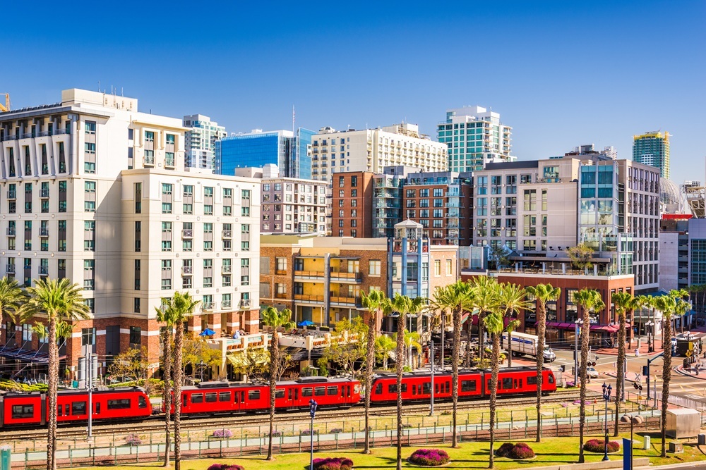
Earthquake risks in San Diego are significantly higher than previously believed, and measures to mitigate potential impacts from major temblors are still needed.
Noted earthquake expert Lucy Jones warned the city in 2018 to get a handle on the situation – before it’s too late.
Since then, new findings about the Rose Canyon Fault have underscored that message.
Fifty years ago, it was believed that the city had a lower risk than Los Angeles or San Francisco for an epic earthquake. As a result, San Diego lowered the bar on building safety in the 1970s and 1980s when other regions were adopting more ambitious requirements for seismic safety.
The result is that San Diego now has more vulnerable buildings than its metropolitan counterparts – and in light of new information about the seismic risks facing the region, those weaker structures put local communities at significant risk.
“The picture changed when we discovered the Rose Canyon Fault and proved that it was active,” Jones told the City Council’s Infrastructure Committee, according to the Union-Tribune. “That really changed your risk.”
Since that announcement, new discoveries have ramped up San Diego’s risk factor even more.
New threats posed by the Rose Canyon Fault prompted the state this year to update its earthquake fault hazard map for the area. The new hazard map identifies risks in areas along Interstate 5, branching off through downtown and up to La Jolla.
According to recent Earthquake Engineering Research Institute calculations, the Rose Canyon Fault – once considered inactive – has the potential to release a devastating 6.9 magnitude quake that could result in:
- 120,000 damaged buildings
- 8,000 buildings damaged beyond repair
- 23,000 residential units severely or completely damaged
- 36,000 households displaced
- 40% of commercial and industrial buildings damaged, (20% extensively or beyond repair)
- $38 billion in damage
- $5.2 billion in lost income
Water, sewer, and gas service could be interrupted, along with airport and rail service. Building damage could create a significant housing and job loss crisis, researchers concluded. Liquefaction in beach communities would contribute to damage there, and landslides are projected to affect Mount Soledad, Point Loma, Mission Valley, and Sorrento Valley, the EERI reported.
What’s been done in response to this new information?
The city has worked with owners of dangerous unreinforced masonry (URM) buildings to retrofit those structures, and to date – many have complied. But as of last year, there were still 18 of these multi-story buildings at high risk of damage in a major quake, according to the city website.
This is alarming when you consider the number of people living, working, and dining inside or near these structures, most of which are downtown. Falling brick, parapets and crumbling facades have killed people in the past and could easily do so again in the next major earthquake.
Other than the URM effort, there has been little done to encourage retrofits of the city’s dangerous structures – let alone to even identify how many of them are out there, and where they are.
One of the first steps a city can take to boost its resilience to earthquakes is to create an inventory of vulnerable structures.
By identifying these potential risks on a map, officials can get a broader understanding of what that 6.9-magnitude quake might bring.
Where would those 8,000 red-tagged buildings be? What neighborhoods are most vulnerable, and how many of those residents will be displaced or worse in a major earthquake.
If you are uncertain whether you own one of these vulnerable buildings, don’t wait for the city to take action. You can get a complimentary building evaluation by Optimum Seismic’s structural engineering team to see where you stand.
Contact Optimum Seismic today at 833-978-7664 to learn more about your situation and discuss what opportunities are available to you.