If you live near the coast and feel strong shaking from an earthquake, “move inland as soon as possible.”
That’s what Rick Wilson, head of the California Geological Survey’s Tsunami Program, told City News Service earlier this spring, after his agency released a series of new tsunami maps showing dire consequences for the Long Beach area following an earthquake.
New data and improved computer modeling prompted changes in the agency’s projections of tsunami hazards up and down the coast. Hoping to use that information to better help communities prepare, they posted the maps here for anyone to see: conservation.ca.gov/cgs/tsunami/maps/los-angeles.
“A large tsunami could flood sizable areas of Marina del Rey and Long Beach to an elevation of 15 feet,” Wilson told City News Service. “Flood levels for the Port of Los Angeles and the Port of Long Beach could reach elevations of 12 to 15 feet, which would inundate almost all of the land in the ports and some of the surrounding communities.”
Too much at stake to ignore
The largest of the possible tsunamis, sparked by a major temblor off the coast of Alaska, would cause hundreds of millions of dollars in damage – not to mention as much as a billion dollars in lost business at the ports, the agency calculated.
With so much at stake, it is obvious that preparations should be made to avert that disaster before it happens.
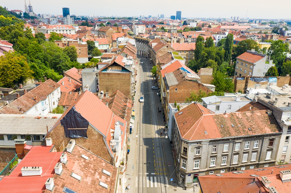
The same holds true for earthquakes, which are far more likely – and more threatening – to Costal communities served by AACSC.
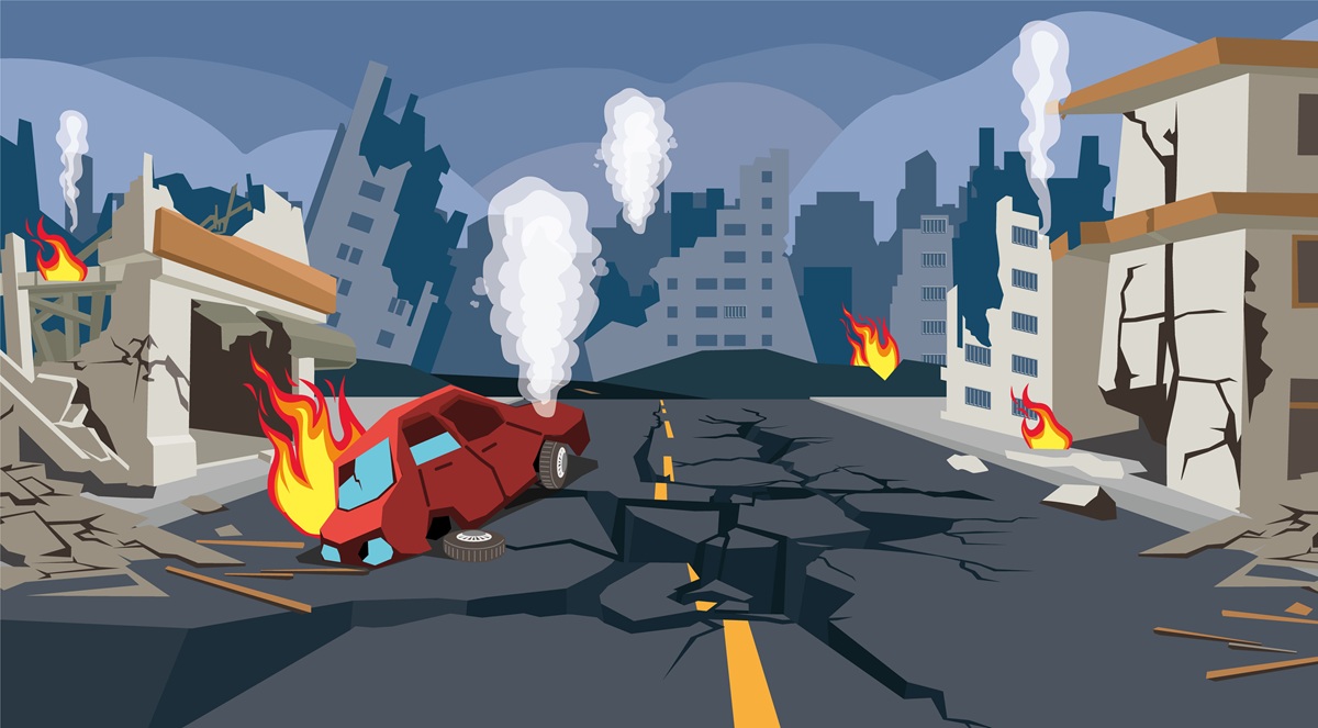
There is a terrifying 46% likelihood that a major quake of magnitude 7.5 or greater will strike California in the next 30 years. Recent estimates by the Earthquake Engineering Institute put damages caused by a magnitude-7 earthquake on the Puente Hills fault running through downtown Los Angeles at more than $252 billion with thousands killed and hundreds of thousands being displaced.
If those numbers don’t scare you, these will. It is almost certain – a 99% chance – that a 6.7-magnitude quake, (the same size as the devastating Northridge earthquake of 1994), will rattle the state in the next 30 years, according to the U.S. Geological Survey.
L.A. faces greater loss from earthquakes
Many people in Southern California still vividly recall that Northridge quake, which was the nation’s most devastating natural disaster at the time. Homes, businesses, and apartment buildings splintered and collapsed. Aftershocks fueled the destruction as large patches of the region were left heavily damaged: nine hospitals were declared unstable. Schools and universities were red-tagged; broken gas and water pipes, downed utility lines, fires, and flattened bridges and overpasses left many roadways impassable.
The threat of a quake that size striking again is so high that the California Geological Survey said Los Angeles County has the greatest potential loss from a major earthquake of any other region in the state.
Northridge, at a magnitude 6.7, was the costliest natural disaster in the United States at the time – causing up to $20 billion in damages and $49 billion in economic loss. That combined $69 billion in today’s dollars would total more than $121 billion.
So, while we look at the threat of tsunamis on our coastal communities, we must certainly consider the reality that more of us are significantly at risk in a major earthquake.
Learn more about the hazards we face, and how people throughout the state are working to address them by watching The Resilience Advantage – an ongoing webinar series featuring experts addressing risks, building safety, social concerns, and business and economic impacts associated with seismic resilience of buildings.
The next webinar on the topic “Science + Technology=Earthquake Safety” is from 11 a.m. to 12:30 p.m. Wednesday, May 19 – with others planned throughout the year. For more information, visit optimumseismic.com/the-resilience-advantage. Past webinars are also posted there for those who missed any of the series.