-Appeared on Apartment Association Greater Los Angeles (AAGLA).
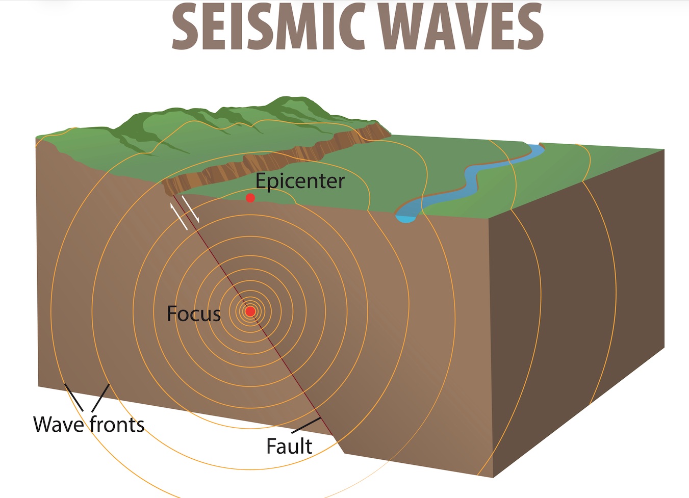
Anyone who lives in California knows that our state’s calamitous reputation for earthquakes is fueled by the intricate web of volatile fault lines that crisscross our landscape.
The closer you are to a fault, the more likely you are to be impacted by seismic activity. Here in Southern California, the junction of the San Andreas and San Jacinto faults creates a grim seismic scenario where both might at any time rupture simultaneously, causing what scientists say could be an epic magnitude-7.5 earthquake.
In fact, Los Angeles County ranks as No. 1 for estimated annualized earthquake loss at 30.6 percent, the United States Geological Survey reported.
A recent study at U.C. Berkeley performed by the California Geological Survey supported that finding, ranking potential damage in Southern California higher than that of any other part of the state, including San Francisco.
Why is L.A. Most Vulnerable?
Projected earthquake damage is calculated based on population density, the strength or intensity of potential ground shaking and the ability of a structure to withstand it.
The U.S. Geological Survey in 2016 completed an analysis of earthquake risks in California by community. San Bernardino was put at the top of the list, due to its proximity to both the San Andreas and San Jacinto faults. Eureka came in second because it is located near faults that are believed to be capable of beastly quakes with magnitudes of 8 or 9.
Likewise, the California Geological Survey determined that due to the anticipated ground motions, soils and development in Los Angeles County, our region faces the potential of significant annualized earthquake loss.
The California Geological Survey found that in Southern California, a magnitude 7.1 quake along the Puente Hills fault would bring an estimated $69 billion in damages. Other calculations for Southern California include $49 billion from a 6.9 magnitude quake on the Newport-Inglewood fault; $30 billion from a 7.1 magnitude event along the Palos Verdes fault; $29 billion from a 6.8 event on the Whittier fault; and $24 billion for a 6.7 event on the Verdugo fault.
One of the major reasons the USGS put L.A. County at the top of annualized earthquake loss has to do with the population density, the types of buildings located here and the likelihood that they may be damaged when a major quake strikes.
Is Your Building at Risk?
Seismologists and structural engineers have identified certain buildings that are most likely to sustain damage in a major earthquake. These include:
- Soft-story built before 1978
- These structures, with parking on the ground floor and units built above, are prone to collapse during major earthquakes.
- Unreinforced Masonry built before 1975
- The facades of these buildings can collapse in a quake.
- Concrete Tilt-up built before 1994
- Weak connections can fail and cause walls to pull apart from the roof, presenting a collapse hazard.
- Non-Ductile Concrete built before 1977
- Limited lateral resisting capacity makes these structures brittle.
- Steel Moment Frame built before 1996
- These buildings can sustain brittle fracturing of the steel frames at welded joints between beams and columns.
The USGS determined that 300,000 structures would be damaged in a 7.8 San Andreas earthquake. That’s one in every 16 buildings in the region.
Most earthquakes are small, virtually imperceptible, but scientists universally agree that we are long overdue for “The Big One.”
Make sure your building is prepared. It’s only a matter of time.